The route from Alexandria, VA to Littleton, CO goes through 10 states for a total of approximately 1,672 miles. To view Department of Transportation Regulations for a particular state, click on the corresponding state in the list with the mileage breakdown.
-
Route mileage
- Virginia 22
- Maryland 168
- West Virginia 57
- Pennsylvania 55
- Ohio 227
- Indiana 156
- Illinois 155
- Missouri 247
- Kansas 423
- Colorado 189
- Total Miles 1,672 miles
What's the Freight Rate from Alexandria to Littleton?
Freight rates for this lane typically range between $2,801 and $4,750. These are based on national carrier data and market trends.
What Impacts Your Rate?
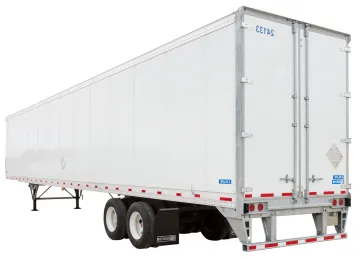
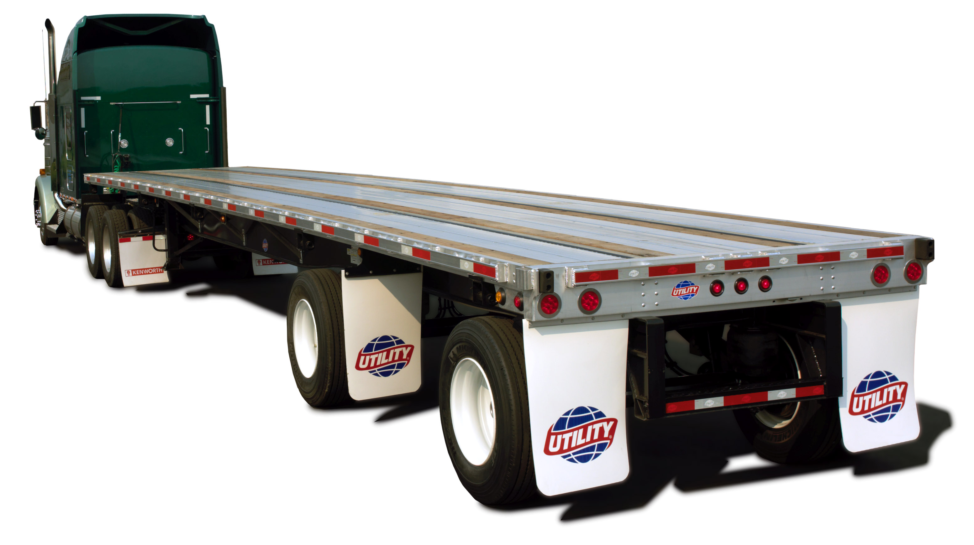
- Type of equipment (Dry Van vs. Flatbed)
- Fuel prices and lane mileage (1672 miles)
- Seasonal trends and demand
- Freight type and weight
Route Overview
This lane travels through 10 states:
- Virginia – 22 miles
- Maryland – 168 miles
- West Virginia – 57 miles
- Pennsylvania – 55 miles
- Ohio – 227 miles
- Indiana – 156 miles
- Illinois – 155 miles
- Missouri – 247 miles
- Kansas – 423 miles
- Colorado – 189 miles
FAQs
How long does shipping take from Alexandria, VA to Littleton, CO?
Typically 2.5 days, depending on stops and scheduling.
How accurate are these rates?
Rates are averages. For locked pricing, get a custom quote valid for 30 days.