High Point, NC to Waltham, MA Freight Rates
Loading map...
Route Mileage
Calculating route...
What's the Freight Rate from High Point to Waltham?
Freight rates for this lane typically range between $1,509 and $2,737. These are based on national carrier data and market trends.
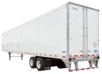
Dry Van Estimate
$2,380
Get Dry Van Quote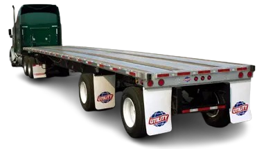
Flatbed Estimate
$1,775
Get Flatbed QuoteThese are ballpark estimates based on current market conditions. For an accurate, guaranteed quote tailored to your specific shipment, get a free quote in minutes.
What Impacts Your Rate?
- • Type of equipment (Dry Van vs. Flatbed)
- • Fuel prices and lane mileage (756 miles)
- • Seasonal trends and demand
- • Freight type and weight
FAQs
How long does shipping take from High Point, NC to Waltham, MA?
Typically 1 day, depending on stops and scheduling.
How accurate are these rates?
Rates are averages. For locked pricing, get a custom quote valid for 30 days.