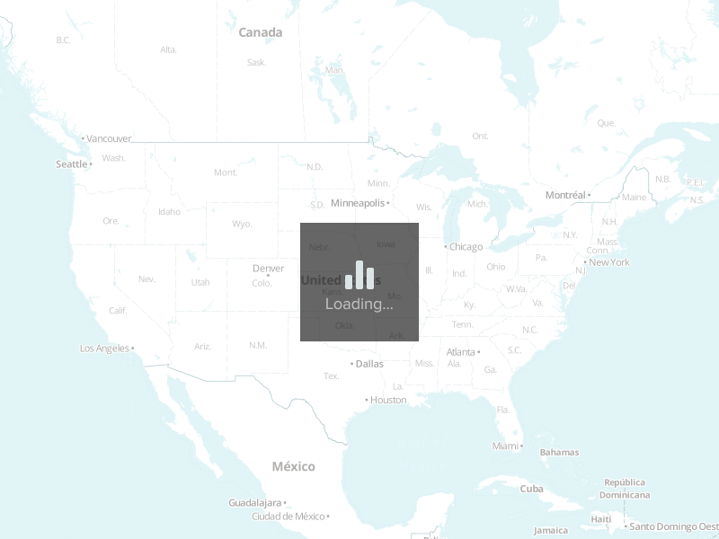
The route from Lewisville, TX to Atlanta, GA goes through 5 states for a total of approximately 803 miles. To view Department of Transportation Regulations for a particular state, click on the corresponding state in the list with the mileage breakdown.
-
Route mileage
- Texas 190
- Louisiana 189
- Mississippi 155
- Alabama 213
- Georgia 58
- Total Miles 803 miles
What's the Freight Rate from Lewisville to Atlanta?
Freight rates for this lane typically range between $1,704 and $2,352. These are based on national carrier data and market trends.


What Impacts Your Rate?
- Type of equipment (Dry Van vs. Flatbed)
- Fuel prices and lane mileage (803 miles)
- Seasonal trends and demand
- Freight type and weight
Route Overview
This lane travels through 5 states:
- Texas – 190 miles
- Louisiana – 189 miles
- Mississippi – 155 miles
- Alabama – 213 miles
- Georgia – 58 miles
FAQs
How long does shipping take from Lewisville, TX to Atlanta, GA?
Typically 1 day, depending on stops and scheduling.
How accurate are these rates?
Rates are averages. For locked pricing, get a custom quote valid for 30 days.