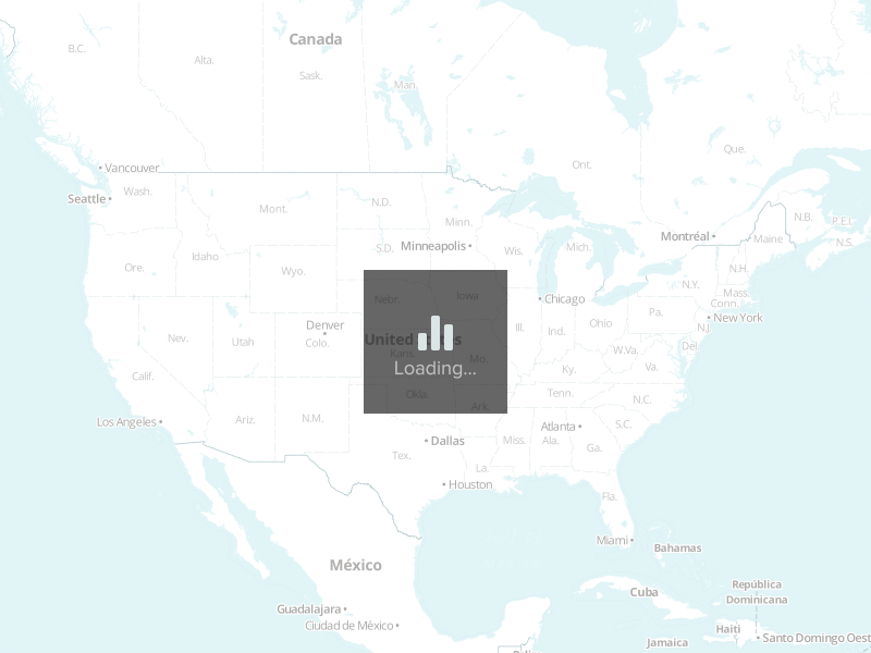
The route from Ottawa, ON to Atlanta, GA goes through 9 states for a total of approximately 1,158 miles. To view Department of Transportation Regulations for a particular state, click on the corresponding state in the list with the mileage breakdown.
-
Route mileage
- Ontario 95
- New York 184
- Pennsylvania 233
- Maryland 12
- West Virginia 26
- Virginia 276
- North Carolina 128
- South Carolina 107
- Georgia 100
- Total Miles 1,158 miles
What's the Freight Rate from Ottawa to Atlanta?
Freight rates for this lane typically range between $2,253 and $3,899. These are based on national carrier data and market trends.

What Impacts Your Rate?
- Type of equipment (Dry Van vs. Flatbed)
- Fuel prices and lane mileage (1158 miles)
- Seasonal trends and demand
- Freight type and weight
Route Overview
This lane travels through 9 states:
- Ontario – 95 miles
- New York – 184 miles
- Pennsylvania – 233 miles
- Maryland – 12 miles
- West Virginia – 26 miles
- Virginia – 276 miles
- North Carolina – 128 miles
- South Carolina – 107 miles
- Georgia – 100 miles
FAQs
How long does shipping take from Ottawa, ON to Atlanta, GA?
Typically 1.5 days, depending on stops and scheduling.
How accurate are these rates?
Rates are averages. For locked pricing, get a custom quote valid for 30 days.