The route from Westerville, OH to Glendale, CA goes through 9 states for a total of approximately 2,254 miles. To view Department of Transportation Regulations for a particular state, click on the corresponding state in the list with the mileage breakdown.
-
Route mileage
- Ohio 114
- Indiana 156
- Illinois 160
- Missouri 292
- Oklahoma 359
- Texas 177
- New Mexico 374
- Arizona 359
- California 268
- Total Miles 2,254 miles
What's the Freight Rate from Westerville to Glendale?
Freight rates for this lane typically range between $3,179 and $7,176. These are based on national carrier data and market trends.
What Impacts Your Rate?
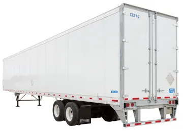
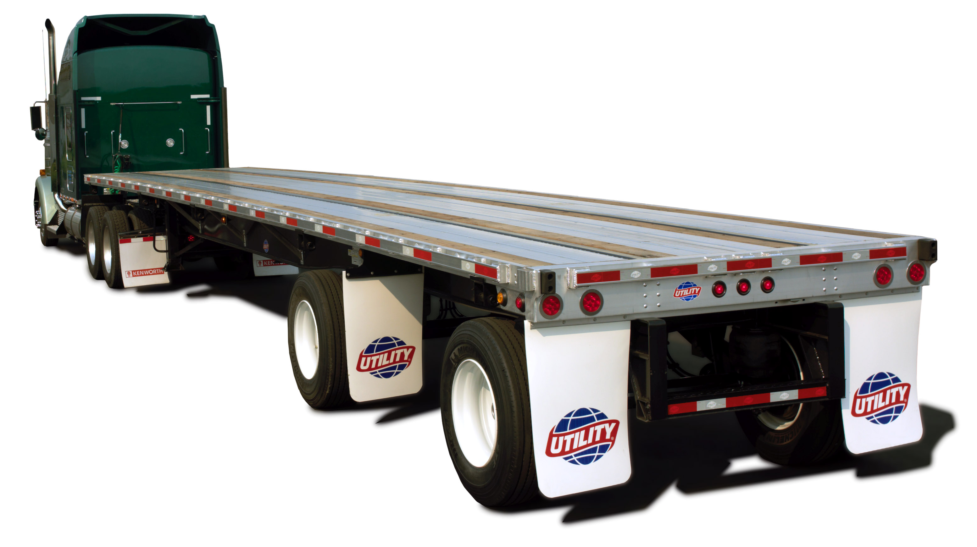
- Type of equipment (Dry Van vs. Flatbed)
- Fuel prices and lane mileage (2254 miles)
- Seasonal trends and demand
- Freight type and weight
Route Overview
This lane travels through 9 states:
- Ohio – 114 miles
- Indiana – 156 miles
- Illinois – 160 miles
- Missouri – 292 miles
- Oklahoma – 359 miles
- Texas – 177 miles
- New Mexico – 374 miles
- Arizona – 359 miles
- California – 268 miles
FAQs
How long does shipping take from Westerville, OH to Glendale, CA?
Typically 3.5 days, depending on stops and scheduling.
How accurate are these rates?
Rates are averages. For locked pricing, get a custom quote valid for 30 days.